Google Earth’s AI Images Lasted One Day
Matthew Leo · Published August 2, 2026 · AI
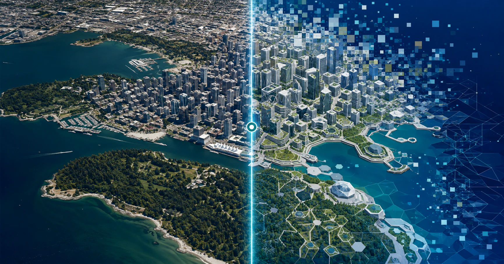
Google spent years making Earth feel like a dependable window onto the planet, then gave users a tool for generating scenes that never happened there.
The experiment lasted one day. Google introduced image generation in Google Earth on July 30, 2026, and announced its rollback on July 31 after people shared generated images that appeared to violate company policies.
The speed of that reversal is embarrassing, but the more important issue is what Google attached the generator to. A synthetic-image tool inside an ordinary creative application is one thing. Putting it inside a service widely used to inspect real places borrows credibility that the generated image has not earned.
What Google launched
Google’s original announcement described a web feature that combined Earth’s satellite, aerial and 3D imagery with its Nano Banana 2 model. Users could choose a real location and ask the system to add a building, reconstruct a historical scene or imagine a future development.
Some of those uses were sensible. A planner could visualize a proposed public space, while a teacher could use an explicitly fictional reconstruction to discuss history. The trouble was that the same system could generate realistic scenes grounded in recognizable locations without making the fiction obvious once the result left Google Earth.
| Date | What happened |
|---|---|
| July 30, 2026 | Google launched Earth image generation globally on the web. |
| July 31, 2026 | Google rolled it back while stronger safeguards are developed. |
Reuters reported that users quickly created fake scenarios involving real monuments and landmarks. Google did not identify every policy-breaking image, so broader claims about exactly what caused the shutdown should remain qualified.
The watermark did not solve the trust problem
Google says generated images were watermarked as AI-made and were not inserted into the public Google Earth view. Both safeguards limited the immediate damage, but neither controlled what happened after someone took a screenshot or shared the output elsewhere.
That distinction matters because most people encountering a suspicious image will not open Google Earth and reproduce the original workflow. They will see a cropped picture in a social feed, group chat or news report, often stripped of the interface and explanation that established its synthetic origin.
A watermark is useful evidence when it survives. It is not a guarantee that every viewer will notice it, understand it or receive the original file containing it.
This is why transparency cannot depend on one technical label. Durable provenance information, visible disclosure and platform-level context must work together, especially when the output resembles documentary evidence.
Google Earth carries borrowed authority
People use satellite and aerial imagery to examine fires, floods, construction, environmental damage and military activity. Journalists and open-source investigators compare landmarks, roads and terrain to test whether photographs and videos came from the places claimed.
Generated imagery does not invalidate that work, but placing a generator beside a trusted geographic record creates unnecessary ambiguity. It asks ordinary users to remember whether they are looking at the world or at a model’s version of what the world could look like.
Google’s own rollback acknowledges that unusual responsibility. The company said people “uniquely trust Google Earth for a reliable view of the world.” That trust should have shaped the product before launch, not after screenshots began circulating.
Canada is debating this exact problem
The failure arrived while Ottawa is conducting a public consultation on AI transparency. The federal government is considering how Canadians should identify synthetic content, know when they are interacting with AI and obtain understandable information about a system’s capabilities and limitations.
Google Earth offers a useful case study. A disclosure rule focused only on whether the original tool applied a watermark would miss the larger problem: content moves between applications, and the context surrounding it is easily lost.
Canada’s eventual approach should therefore require several layers:
- Visible disclosure on realistic synthetic images
- Machine-readable provenance that survives ordinary sharing where technically possible
- Clear identification of the tool and date used to create the image
- Stronger restrictions for elections, emergencies and fabricated evidence
- Accessible reporting and correction processes
None of those measures will eliminate deception. Together, they make deception more difficult and give platforms, journalists and readers better evidence to examine.
The feature may return, but the design must change
Google says it is working on stronger guardrails, which suggests the company may restore the feature. The useful version would make generated images look unmistakably like proposals, reconstructions or creative visualizations rather than ordinary Earth imagery.
That could mean persistent framing, prominent labels within the pixels, restricted prompts around sensitive locations and downloadable files that retain provenance information. Google could also separate the generator from the main Earth interface so the creative function does not inherit quite as much of the mapping product’s authority.
Mapletechie has already examined how AI browsers gain power by absorbing trusted parts of the web. Google Earth presents the visual version of the same issue: adding generation to an authoritative tool changes what users must now verify.
Trust is harder to rebuild than a feature
Google reacted quickly, and the generated results never replaced the underlying public imagery. Those are meaningful limits, not excuses to invent a larger scandal.
Still, this was a foreseeable failure. When a product’s value comes partly from showing the real world, a button that produces convincing alternatives demands more than an ordinary image-generator disclaimer.
Google can rebuild the feature with stricter safeguards. Rebuilding the instinctive trust people place in what appears to be satellite evidence will be much harder if companies keep asking users to distinguish reality only after the image has started travelling.
Tags: Google Earth, generative AI, misinformation, satellite imagery, AI transparency