How to Download Offline Maps Before You Lose Service
Matthew Leo · Published August 14, 2026 · Guides
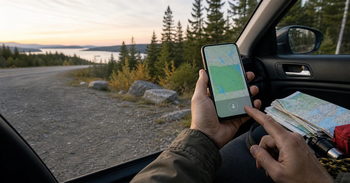
A map that lives only in the cloud can disappear at the exact moment a rural road, storm or evacuation makes it most important.
Apple Maps and Google Maps both let you download areas to a phone before service becomes weak. The setup takes a few minutes on Wi-Fi and can preserve basic navigation without cellular data.
The two apps do not work the same way offline. Download the whole route, test it before leaving and keep a second route written down for emergencies.
Download more than the destination
An offline map must cover the road between the starting point and destination, not only the town at the end. Google says offline guidance works when the entire route is inside the downloaded area.
That matters in northern and rural Canada, where a route may cross a large area with long gaps in mobile coverage. Include the main highway, likely detours, fuel stops and a second way out of the community. A narrow rectangle around one address is not enough.
Check the file size before downloading. Large regions consume storage, so several focused areas are often easier to manage than one enormous map. Download over Wi-Fi unless the trip is urgent and your mobile plan can absorb the data.
How to download an offline map on iPhone
Apple Maps supports offline maps on iOS 17 or later in selected areas.
- Open Maps and tap your picture or initials beside the search field.
- Tap Offline Maps.
- Tap the add button, search for a place or choose the current location.
- Move and resize the frame until it covers the route and alternatives.
- Review the file size and tap Download.
You can also search for a place, open its card and tap Download when the option is available. Apple says downloaded areas can provide place information, estimated arrival times and turn-by-turn directions for driving, walking, cycling and transit, although features vary by region.
Automatic updates are on by default. In Offline Maps settings, confirm that updates remain enabled. The Optimize Storage option can remove unused maps later, which is useful for space but worth remembering before a return trip.
How to download an area in Google Maps
The steps are similar on Android and iPhone:
- Open Google Maps while connected to the internet and signed in.
- Tap your profile picture or initial.
- Choose Offline maps, then Select your own map.
- Move and zoom the box to include the full route.
- Tap Download.
On Android, Google also allows offline maps to be stored on a compatible SD card configured for portable storage. That can help on a phone with little free internal space.
Google tries to update maps automatically when they are close to expiring and the phone is connected to Wi-Fi. Open the Offline maps list before a trip and confirm that every required area says it is ready.
Google Maps has stricter offline limits
Google Maps can provide offline driving directions inside the downloaded area. It does not provide offline public-transit, cycling or walking directions. Live traffic and alternative routes also disappear without a connection.
That means a downloaded Google map is not a live evacuation service. It may show roads that exist, but it cannot know that smoke, water, construction or an emergency order has closed one of them.
Apple’s offline feature supports more travel modes, but it also cannot replace current instructions from local officials. No saved map should overrule a closure, checkpoint or evacuation direction.
Test the map before you depend on it
After the download finishes, put the phone in airplane mode while still at home. Open the app, search for a location inside the saved area and build a route. Zoom in along several parts of the drive.
This simple test catches a map that is too small, expired or saved under the wrong account. It also shows what the app looks like without traffic and other online information.
Save important addresses as plain notes and take a screenshot of the route overview. A paper map is still useful on long remote drives because it does not depend on a charged phone.
Build the map into an emergency plan
The Government of Canada recommends identifying a main evacuation route and an alternate route. Its wildfire guidance also says to learn local procedures, practise both routes and follow emergency officials. Do not drive through a wildfire unless directed.
Before travelling or during elevated fire and flood risk:
- download the home area and the full destination corridor;
- mark two ways out of the community;
- save local emergency-management and road-information pages;
- keep the phone charged and carry a suitable car charger;
- tell someone the planned route and arrival time; and
- listen for Alert Ready messages and local instructions.
Mapletechie’s practical guides are built around checks that still work when the convenient option fails. Offline maps belong in that category: useful backup, not authority.
The five-minute check that prevents a blank screen
An offline map cannot predict a closure or create a safe route through an active emergency. It can keep ordinary road data available when the signal vanishes.
Download a generous area, leave automatic updates on and test it in airplane mode. Then pair it with an alternate route and live instructions. Preparation works best when no single tool has to do everything.